
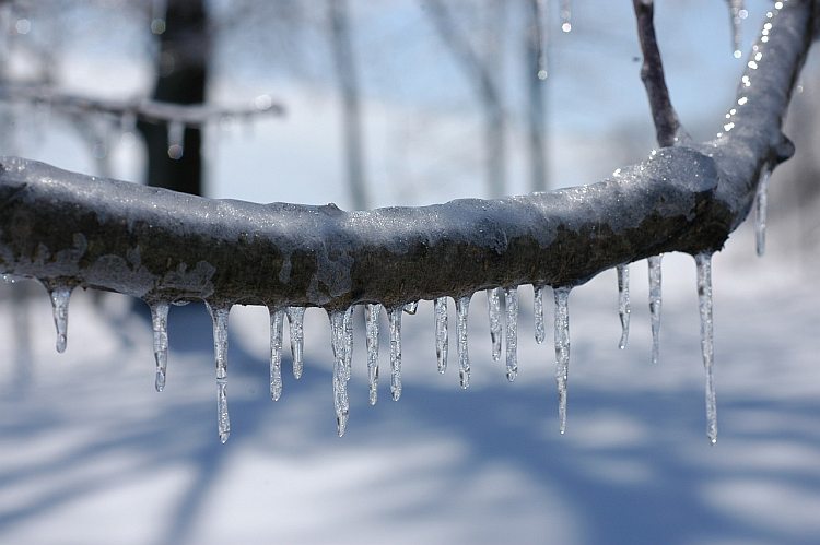
Possible Freezing Rain Headed For Puslinch Sunday
Winter Weather Travel Advisory in effect for Sunday.
This Winter Weather Travel Advisory has been upgraded from a Special Weather Statement that was previously in effect.
A strengthening low pressure system is expected to bring a wintry mix of weather to the area beginning Sunday morning.
Some areas could see several hours of freezing rain or ice pellets before transitioning to snow or freezing drizzle Sunday afternoon. Light snow is then expected to continue through Sunday night before tapering off Monday morning. Strong wind gusts up to 70 km/h and local blowing snow reducing visibilities are also possible.
There remains some uncertainty as to the track of the low; however, there is the potential that some areas could see total snowfall or ice pellet amounts of 5 to 10 cm by Monday morning.
Travel on roads could become hazardous at times.
Please continue to monitor alerts and forecasts issued by Environment Canada. To report severe weather, send an email to [email protected] or tweet reports using #ONStorm.